
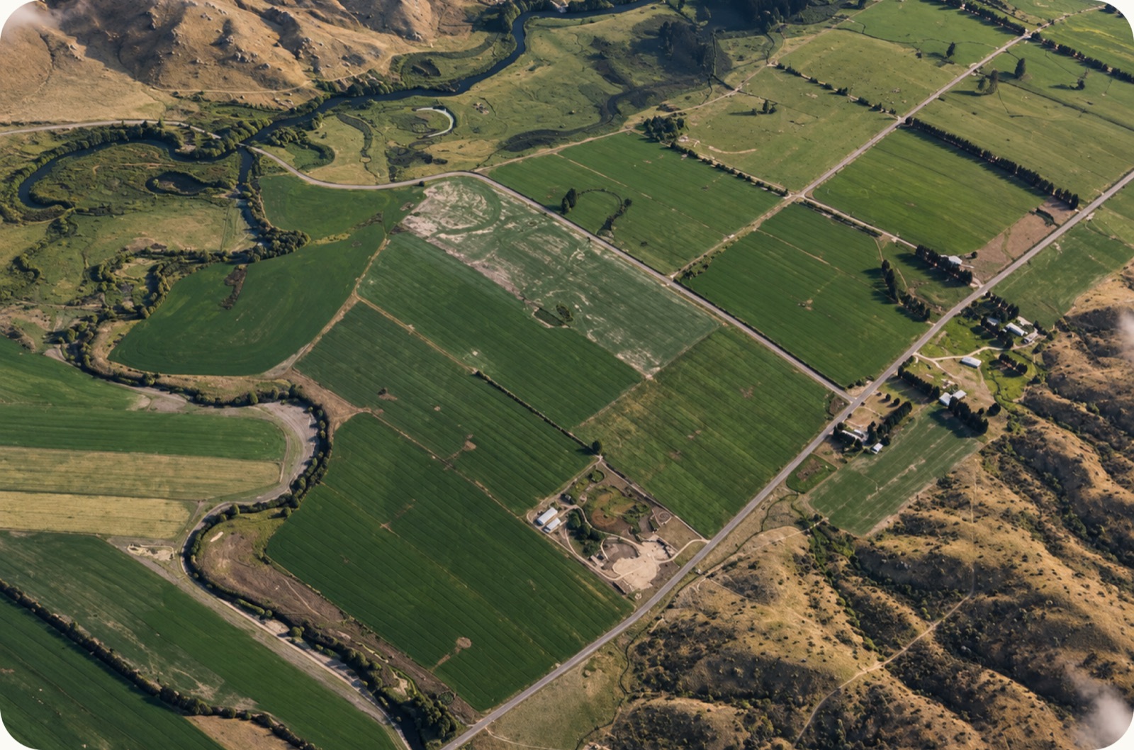
Signing in to the Landholder onboarding gives our system all it needs to know where we're able to hunt. The honest answer is rarely "anywhere on the farm". There's the house, the stock, the neighbour's boundary and that gully you'd rather nobody wandered into. So before a single hunter arrives, we prepare the "huntable area".
Signing up
Most landholders arrive by scanning a QR code a hunter has handed them. From there it's four short steps, built for a phone in one hand:
- Find your property. We pull your title boundaries from LINZ, so there's no drawing fences by hand.
- Tell us the areas to avoid. Yards, stock paddocks, anywhere you'd rather keep quiet.
- Tell us about toxins. Whether poison has been laid on your land, and when.
- Choose who can come. Open to any approved hunter, or locked to one hunting organisation you trust. We'll share up to five, you choose who suits your land
The huntable area
Once you're done, our servers work out the exact area where hunting is allowed. That's your boundary, minus any toxin caution zones (more on those next time) and offsets from any boundaries we don't know what's on the other side of.
That single shape is the source of truth. The hunter's app, the neighbour who also signs in and the MPI paperwork all read from the same line, so nobody is working off an old copy.
Staying in charge
- Hunters request access. You approve or decline. Requests you ignore expire after 15 days, so nothing sits there awkwardly.
- You choose whether one hunter or several can book the same day.
- If you've handed the block to a hunting company, the company manages its own hunters.
- The paperwork MPI needs from you — the Poison Use Statement — is filled in from what you've already told us. You check it and sign.
The map a hunter observes has the boundary, the area that can't be harvested from and finally, the area that can have animals taken from for humans or petfood.
Next up: why our map knows what the neighbours laid.